
Congestion on Philippine roads is an issue the Philippine national government is consistently working to address, especially when it comes to expanding and aiming for sustainable tourism. As a matter of fact, the Build Better More initiative (formerly the Build Build Build Project) is funded by the Philippine government’s yearly increase in public infrastructure expenditure. Road conditions and connectivity between provinces and important economic hubs were prioritized throughout the planning stages of this program.
And this is where road systems come in. But before we get any further into Laguna’s road maps, it would be helpful to understand what a road network really is.
A Closer Look at the Philippines’ Road Networks
A road network is a diagram of interconnected streets and junctions. It gives researchers the groundwork they need to design more practical routes, such as where to explore the optimal route for passengers and where to locate service places like gas stations or the nearest stop-over places during your travel.
It is for this reason that the country’s road networks are essential to its economic growth because they facilitate the movement of commuters, private cars, and logistical solutions. In the Philippines, road networks also act to form economic zones in various sections of Luzon. It also aids in preventing the kind of massive traffic jams that may stunt economic development.
Charting the Course through Laguna’s Major Road Network
If you’re planning to get a condo investment in Luzon, then the Province of Laguna is one of the best places to buy a condo for sale in Philippines. You cannot only find value-priced condominium like Asterra but also get a secured gated community that has the best value for money.
These days, getting across Laguna and the surrounding provinces and even to and from Metro Manila is a breeze because of the region’s well-developed road system. Below is a list of excellent road systems that you can stumble upon while driving around Laguna Province.
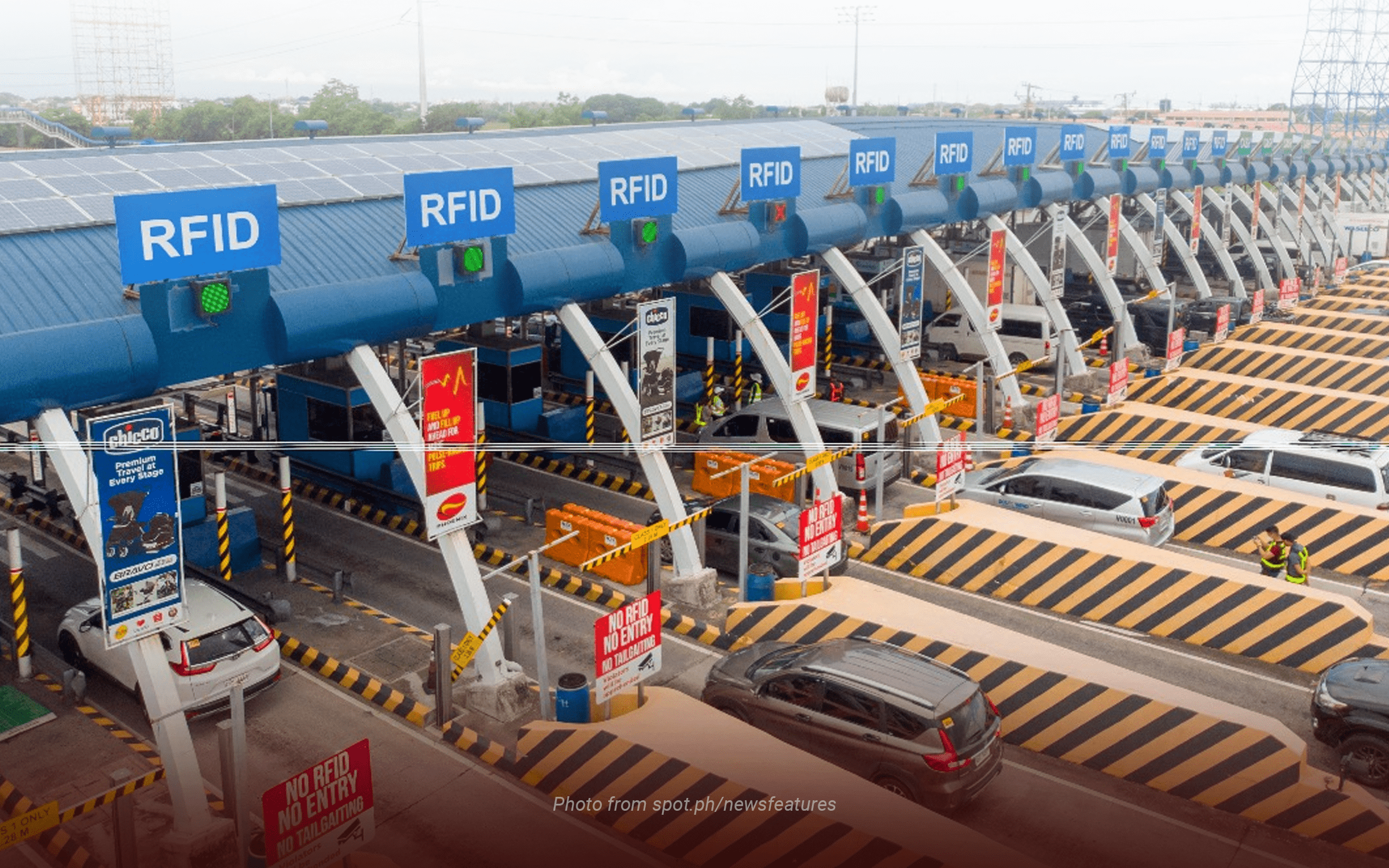
A. South Luzon Expressway (SLEX)
The South Luzon Expressway (SLEX) is a major thoroughfare that connects many of the major cities in the region and provides easier access to and from the rest of southern Luzon for a fee. The whole distance of SLEX from its beginning point at Magallanes Intersection in Makati and its terminating point at the Santo Tomas, Batangas toll gate is 46.9 kilometers. It now consists of three toll roads, with continued development for a fourth toll road.
First Toll
Starting from Magallanes, the First Toll Road travels south to the Alabang Exit in Muntinlupa. It’s 13.43 kilometers long and helps commuters save travel time between Metro Manila and Alabang.
Second Toll
From the Filinvest Exit toll plaza in Manila, the second toll road stretches all the way to Calamba, Laguna.
Third Toll
The third toll road also begins at the Calamba Exit and terminates in Santo Tomas, Batangas, connecting the two provinces.
Fourth Toll (On-construction)
Santo Tomas, Batangas, and Lucena will soon be joined by Toll Road 4, which is now under development. Meanwhile, Toll Road 5 is also planned as a future extension of SLEX that will link Lucena and Sorsogon.
B. Manila South Road/Old National Highway
In terms of primary road networks linked to the province of Laguna, the Manila South Road, also known as the Old National Highway, stands out as one of the most extensively traveled routes. The infrastructure is interlinked with many local roads and arterial road networks across the province of Laguna. The route extends from the municipality of Muntinlupa and terminates in the city of Calamba.
The Manila South Road connects the cities of San Pedro, Biñan, Sta. Rosa, and Cabuyao in Laguna. This local route is one of the most significant connections between the cities in Laguna because of its length, high traffic volume, and central location within each city. It extends to a major highway and connects to it via a local road.
C. National Highway
The Manila South Road terminates at the intersection located at Calamba Crossing, marking the commencement of the National Highway.
The National Highway is a lengthy stretch of local roadway that traverses the municipalities of Los Baños, Victoria, Pila, Santa Cruz, and extends all the way to Pagsanjan. Subsequently, the aforementioned local road provides access to Pagsanjan – Cavinti Road as well as many other local roads situated inside the province of Laguna. The national highway traverses many tourist sites in Laguna, making it a popular route among visitors.
D. Pan-Philippine Highway
The Pan-Philippine Highway, sometimes referred to as Maharlika Highway, is a prominent national roadway that encompasses a diverse network of roadways linking the regions of Luzon, certain areas in Visayas, and Mindanao.
Among the several transportation infrastructures linked to Laguna, one notable example is the South Luzon Expressway (SLEX), which serves as a crucial component of the region’s main road networks. Additionally, it traverses the other municipalities within the province.
E. Manila East Road
Meanwhile, if you want to avoid the traffic congestion of the metro, you may also go conveniently from Laguna to Rizal by using the Manila East Road, which is a national highway. In its journey from Pagsanjan to Pililla in Rizal, it passes through a number of municipalities in the neighboring province of Laguna, including Lumban, Kalayaan, Paete, Pakil, Pangil, Siniloan, Famy, and Mabitac.
Manila East Road splits off to create the Calamba-Santa Cruz-Famy Junction Road, which connects to more routes inside the Laguna region. The length of this route encompasses the whole of Laguna de Bay.
F. Santa Rosa – Tagaytay Road
Originally built in the late 1990s, the Santa Rosa-Tagaytay Road connected the Santa Rosa municipal center to the western limit of the then-municipality at barangay Santo Domingo and then into barangay Lumil in Silang.
The Santa Rosa-Tagaytay Road is a prominent road in the province of Laguna that spans a total of 23.245 kilometers and goes by a number of different names. Located in Laguna and Cavite, respectively, it links the cities of Santa Rosa and Tagaytay and gives easy access to public transportation and private vehicles from Manila via the South Luzon Expressway and the Cavite-Laguna Expressway.
G. Laguna Lakeshore Road Network (Upcoming Project)
The planned Laguna Lakeshore Road Network (LLRN) Project is intended to be an “outer ring high standard highway” for Laguna de Bay, giving drivers going to the southern and northern provinces a safer and far more convenient alternative route.
As of May 2023, 90% of the comprehensive engineering design for Phase I of the planned project has been completed, which would comprise 37.4 kilometers of viaduct and embankment on the western side that starts from Lower Bicutan, Taguig City to Calamba, Laguna.
Additionally, eight planned interchanges along Lower Bicutan, Sucat, Alabang, Tunasan, San Pedro/Biñan, Santa Rosa, Cabuyao, and Calamba would be included in the funding.
The Department of Public Works and Highways (DPWH) also said that they are starting the feasibility study for Phase II of this road network project.
The efficiency of a Road Network has a significant effect on the flow of traffic and the accessibility of the provinces in the Philippines. There are numerous benefits that the local government, as well as the local economy, can enjoy from a good road network.
That is why getting a condo for sale from Asterra Calamba Laguna can give you prime convenience, movability in the foreseeable future, and maximum public transportation capacity.
Being near nature and surrounded by Laguna de Bay, you can enjoy lesser air pollution in our newest vertical housing while saving up on transportation costs and avoiding lost productivity for professionals. Come and visit our preselling properties in Brgy. Bañadero, Calamba City, Laguna, and discover the optimal modern comfort you can enjoy from our condominium community!